
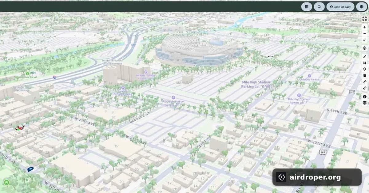
Airwise Adds a Remote ID Partner for Airspace Visibility
Airwise expands its low-altitude airspace picture
Drone awareness is no longer only a pilot-side issue. Airports, utilities, energy operators and critical infrastructure sites also need a clear view of what is moving around their facilities.
That is the idea behind a new partnership between Airwise Solutions and UAS Sentry. The two companies are combining Remote ID data with drone detection to build a broader operational picture of low-altitude airspace.
Why the combination matters
Remote ID already adds value by helping identify a drone and connect it to activity in a specific area. But for facilities that manage security, safety and access control, identification alone is rarely enough. They need context:
- where the aircraft was detected;
- how close it is to a protected site;
- whether it is an isolated event or part of repeated activity;
- how quickly the information can reach the right team.
By pairing detection with Remote ID visibility, operators can move from fragmented alerts to a more usable airspace view.
A practical tool for high-risk sites
For airports and industrial sites, even a brief drone appearance can create operational concern. That is why monitoring is increasingly shifting from simple detection toward a more proactive understanding of the airspace environment.
Partnerships like this point to a wider market trend: customers want integrated platforms that combine different data sources, rather than standalone tools that only solve one part of the problem.
What it signals for the UAV ecosystem
The drone industry is becoming more layered. Alongside aircraft, flight controllers and onboard electronics, adjacent technologies are gaining importance — especially identification, monitoring and airspace management.
For users, the value is not just in seeing a drone. It is in having enough information to decide what to do next, in real time.
Related Posts

Comments
Sign in to leave a comment