
DJI launches 3D heritage mapping contest for drones
Turning drone flights into digital preservation
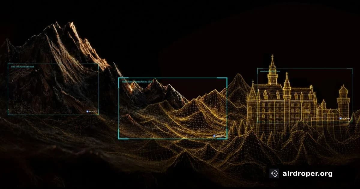
DJI has announced a global World Heritage 3D Conservation Initiative, inviting drone operators to help document natural and cultural landmarks in 3D. The concept goes beyond typical aerial footage: participants are asked to create reconstructions that preserve how these places look today and turn them into flythrough videos.
What the initiative asks for
The competition is aimed at operators who can use drones not just for cinematic shots, but for building accurate 3D models of heritage sites. Those models then become the basis for virtual flythroughs that show the site’s form, scale, and structure in a more immersive way than a standard video clip.
That shift matters because it places more emphasis on flight planning, image consistency, and data quality. In 3D reconstruction work, the drone is not only a camera platform — it is part of a measurement and documentation workflow.
Why heritage mapping matters
Natural and cultural sites are not static. Weather, erosion, human activity, and restoration work can all change them over time. A 3D model can serve as a visual record of a site at a specific moment, which is useful for conservation, research, education, and long-term archiving.
For the UAV sector, the initiative also reflects a broader trend: drones are increasingly used for practical documentation, mapping, and digital preservation, not just content creation.
A sign of where drone work is heading
This competition highlights how aerial imaging is expanding into more specialized use cases. A drone pilot today may be expected to combine flying skills with photogrammetry awareness and an understanding of how image sets support reconstruction.
In that sense, the project is less about spectacular video and more about building a durable digital memory of places that may change in the years ahead.
Related Posts

Comments
Sign in to leave a comment