
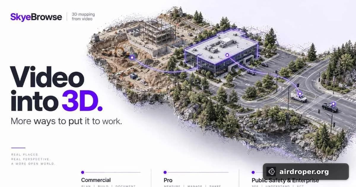
SkyeBrowse updates pricing for drone 3D mapping
SkyeBrowse introduces a new pricing model
SkyeBrowse has updated the pricing structure for its drone-based 3D modeling platform, introducing three plans shaped around how teams actually work with captured models. The shift suggests a move away from a one-size-fits-all approach and toward packaging that better matches real operational use.
For drone teams, that matters. 3D mapping is no longer limited to occasional showcase projects. It is now part of everyday workflows in inspection, incident documentation, construction, and asset review. When a platform is used across different types of jobs, pricing needs to reflect that variety.
Why pricing matters in 3D mapping
In practice, teams do not all use 3D models the same way. Some need a lightweight setup for occasional captures. Others depend on frequent model creation and review as part of a larger workflow. A pricing structure built around usage patterns can make adoption easier and reduce friction when teams scale.
That is likely the logic behind SkyeBrowse’s update: offer clearer options for different levels of use instead of forcing every customer into the same plan. For software in this space, that can be as important as the underlying mapping tools themselves.
What this says about the market
Pricing changes like this usually point to a maturing market. As drone mapping becomes more specialized, software vendors are adjusting not only features but also how those features are sold. The result is a better fit between product design and field reality.
For UAV operators, the broader signal is clear: 3D output is becoming a standalone deliverable, not just a byproduct of a flight. Platforms that can turn captures into usable models quickly — and price them in a way that aligns with actual work — are likely to remain competitive as the sector continues to grow.
Powiązane wpisy



Komentarze
Zaloguj się, aby dodać komentarz