
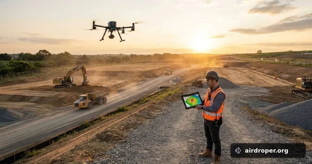
SkyeBrowse adds survey tools for job sites
More site-analysis tools in one workflow
SkyeBrowse has expanded its toolkit for drone mapping and construction workflows, adding features aimed at practical fieldwork rather than just image capture. The update brings survey comparison, earthwork measurement, accuracy checks, and even security planning into the same platform.
What changed
One of the most notable additions is the ability to compare up to 10 surveys of the same site. That makes it easier to track changes over time, whether the team is monitoring excavation progress, terrain shifts, or the effect of repeated site work.
The platform now also supports cut-and-fill volume calculations. In construction and civil projects, this is a core task: knowing where material must be removed and where it needs to be added helps teams plan grading, equipment use, and the overall scope of work.
Another useful update is the option to verify results against ground control points. That matters when teams need more confidence in measurements and want consistent outputs across multiple flights.
Planning camera coverage
SkyeBrowse also introduced a tool for security camera placement planning. For construction sites, industrial facilities, and other open areas, that can help identify blind spots before hardware is installed. In practice, this means fewer layout mistakes and a clearer view of critical zones.
Why it matters
Drone software is steadily moving beyond basic mapping. Teams now expect platforms to support analysis, measurement, and operational planning in a single workflow. When survey comparison, volume estimates, and coverage planning sit in one place, the gap between flight data and action gets smaller.
That benefits operators, who spend less time moving data between tools. It also benefits project managers and engineers, who can review site changes faster and make more informed decisions.
The broader trend is clear: drone mapping is becoming less about delivering pretty visuals and more about supporting day-to-day field decisions. Features like these push software closer to the real needs of construction and industrial operations.
Related Posts


Comments
Sign in to leave a comment