
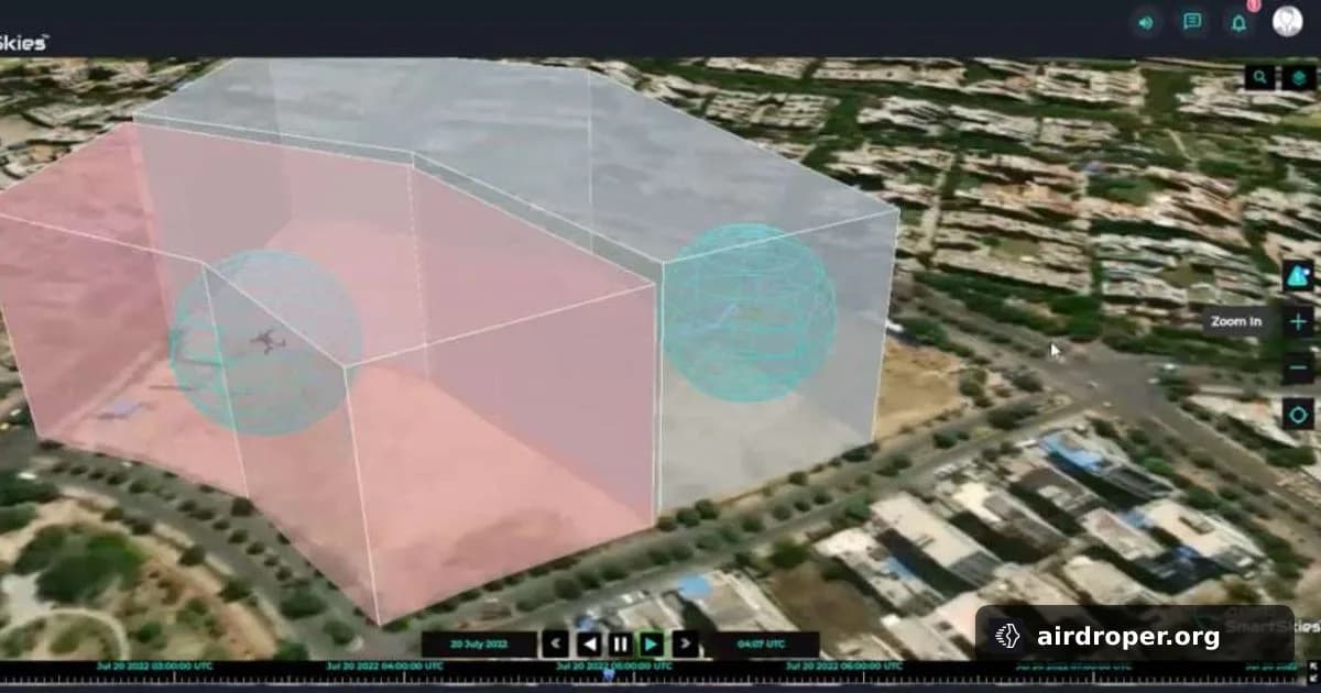
Chippewa County Shows Digital Airspace Infrastructure
A practical step toward managed drone operations
Chippewa County has completed a year-long initiative focused on digital airspace infrastructure for drone operations. The project ended with successful demonstrations of commercial activity and public safety use cases built around FAA-approved Uncrewed Aircraft System Traffic Management (UTM).
The message is straightforward: drones are no longer only about the aircraft itself. Reliable operations depend just as much on the systems that organize traffic, coordinate participants, and reduce friction in shared airspace.
Why UTM matters
UTM is designed to support a more structured drone environment. As more operators enter the same airspace, the need grows for consistent coordination, route awareness, and conflict management. That becomes especially important when commercial missions and public safety flights may overlap in the same region.
The Chippewa County project was not just a technology demo. It was a working example of how digital infrastructure can support real missions rather than isolated test flights.
What the demonstration highlights
The project reflects several broader trends in the drone sector:
- Operations are moving from experimentation to routine use.
- Airspace management is becoming a core part of drone deployment.
- Commercial and public safety workflows can share digital rules and infrastructure.
That shift matters because scalability depends on more than aircraft performance. As drone programs grow, the supporting ecosystem needs to handle planning, coordination, and integration with operational requirements.
The bigger picture
This kind of initiative points to the next stage of drone adoption. Flight controllers, navigation logic, communications, and airspace rules are increasingly part of one system rather than separate layers.
For commercial operators, that means a path toward more predictable and repeatable missions. For public safety teams, it supports faster deployment and better coordination when time matters.
Bottom line
Chippewa County’s project shows that digital airspace infrastructure is becoming a practical reality, not a future concept. When UTM is tested successfully in real operations, it gives both commercial and public safety users a stronger foundation for expanding drone use in shared airspace.
Related Posts

Comments
Sign in to leave a comment