DJI Terra adds AI, thermal mapping and 3D tools
DJI Terra gets a major update for mapping and inspections
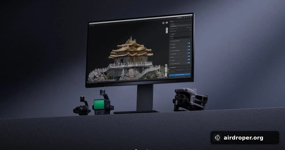
DJI has rolled out a notable update to Terra, its software for mapping, 3D modeling and inspection reporting. The new release adds tools aimed at teams that collect drone data in the field and turn it into usable outputs in post-processing.
What changed
The headline additions include thermal mapping, video-based reconstruction, and an AI assistant. DJI also introduced features intended to make drone data easier to process, analyze and move into the next stage of a project.
For operators, the practical value is clear: less manual work after the flight. Instead of relying only on standard orthomosaics or basic 3D outputs, Terra is moving toward a more complete analysis environment. That matters for inspection workflows, where teams need a fast, readable view of what is happening on the site.
Why this matters
This update reflects a broader trend in drone software: mapping tools are no longer just about model creation. They are becoming data-processing platforms that help users extract more meaning from the material collected by the aircraft.
The new thermal layer can add another dimension to inspections, while video reconstruction offers more flexibility when still imagery is not enough or when a faster capture workflow is needed. The AI assistant may also help reduce the time spent on initial review and navigation through large datasets.
In practice, that makes the software relevant for a wide range of professional use cases, including:
- infrastructure and energy inspections;
- construction monitoring;
- industrial surveys;
- terrain mapping and 3D modeling.
The bigger picture
For teams handling frequent drone missions, software updates like this can be just as important as hardware improvements. The value of an aerial mission is increasingly defined not only by the drone and sensor, but by how quickly the collected data becomes a finished deliverable.
With this release, Terra is positioned less as a standalone mapping utility and more as part of a full workflow — from capture to analysis. That is where much of the competition in professional UAV software is heading.
Related Posts
Comments
Sign in to leave a comment