Dronetag Adds Remote ID Intelligence to Airwise
A step toward unified airspace awareness
Commercial drone operations are no longer simple point-to-point flights. As missions become more frequent and more regulated, operators need a cleaner way to bring together the information that affects every takeoff, route, and landing. That is the context behind the new partnership between Dronetag and Airwise Solutions.
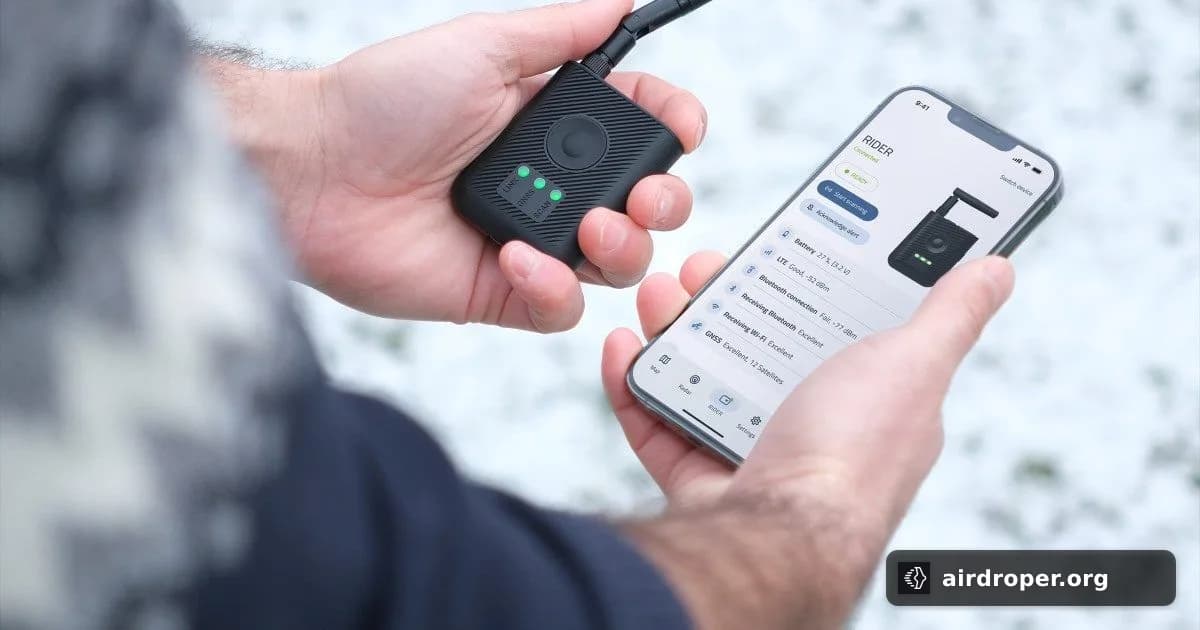
The companies are working to connect Dronetag’s Remote ID intelligence with the Airwise platform, with the goal of giving operators a more complete view of the airspace around them. Rather than relying on separate tools for different parts of the workflow, teams can work from a more unified picture when planning and managing flights.
Why Remote ID matters in the workflow
Remote ID has become an important layer in modern drone operations because it adds visibility to who is flying nearby and how the airspace is being used. On its own, that data is useful. Built into an operational platform, it becomes more actionable.
For commercial users, that can make a difference when missions depend on fast decisions and reliable situational awareness. Whether the task is inspection, monitoring, or mapping, operators benefit from tools that reduce friction and keep relevant airspace information in one place.
What the partnership suggests about the market
This move also reflects a broader shift in the drone sector: operators are looking for integrated software rather than isolated functions. The value is not just in collecting data, but in presenting it in a way that supports real operational decisions.
Airspace complexity is only increasing, and partnerships like this point to where the industry is headed — toward platforms that combine compliance, awareness, and mission planning into a single environment. For commercial drone teams, that kind of consolidation can simplify workflows and support more scalable operations.
Related Posts
Comments
Sign in to leave a comment